Road network01Primary and local road structure shown; 21.91% of land is allocated to roads in the current ledger.
02Street hierarchy, movement context and selected concept names are made navigable in the model.
03Surveyed alignments, detailed design, phasing, construction responsibility and funding.
Rail & regional movement01Railway-station site reserved in the current interpretation.
02Rail gateway is used as a city-scale wayfinding destination.
03Operating proposition, interfaces, approvals, delivery programme and transport integration.
Water01Water-reservoir provision appears in the current plan interpretation.
02Water and resilience are treated as a visible city-system layer.
03Source, capacity, treatment, reticulation, pressure, funding, phasing and operating responsibility.
Waste01Bio-digester provision appears in the current plan interpretation.
02Waste is grouped with resilience infrastructure rather than hidden from the city story.
03Technology, capacity, approvals, collection model, network design and operator.
Drainage & stormwater01No completed servicing claim is made here.
02Landscape and road relationships provide a surface for future drainage evidence.
03Hydrology, drainage strategy, flood risk, outfalls, easements, detailed levels and maintenance.
Power & energy01No completed power-servicing claim is made here.
02Energy can be added as a governed evidence layer in the next-stage model.
03Supply capacity, network design, substations, renewable strategy, connections, phasing and operator.
Digital connectivity01No verified telecoms delivery claim is made in this Vision Lab.
02The city prototype demonstrates the value of a shared digital place record.
03Fibre/mobile strategy, ducting, providers, coverage, smart-city scope and operating model.
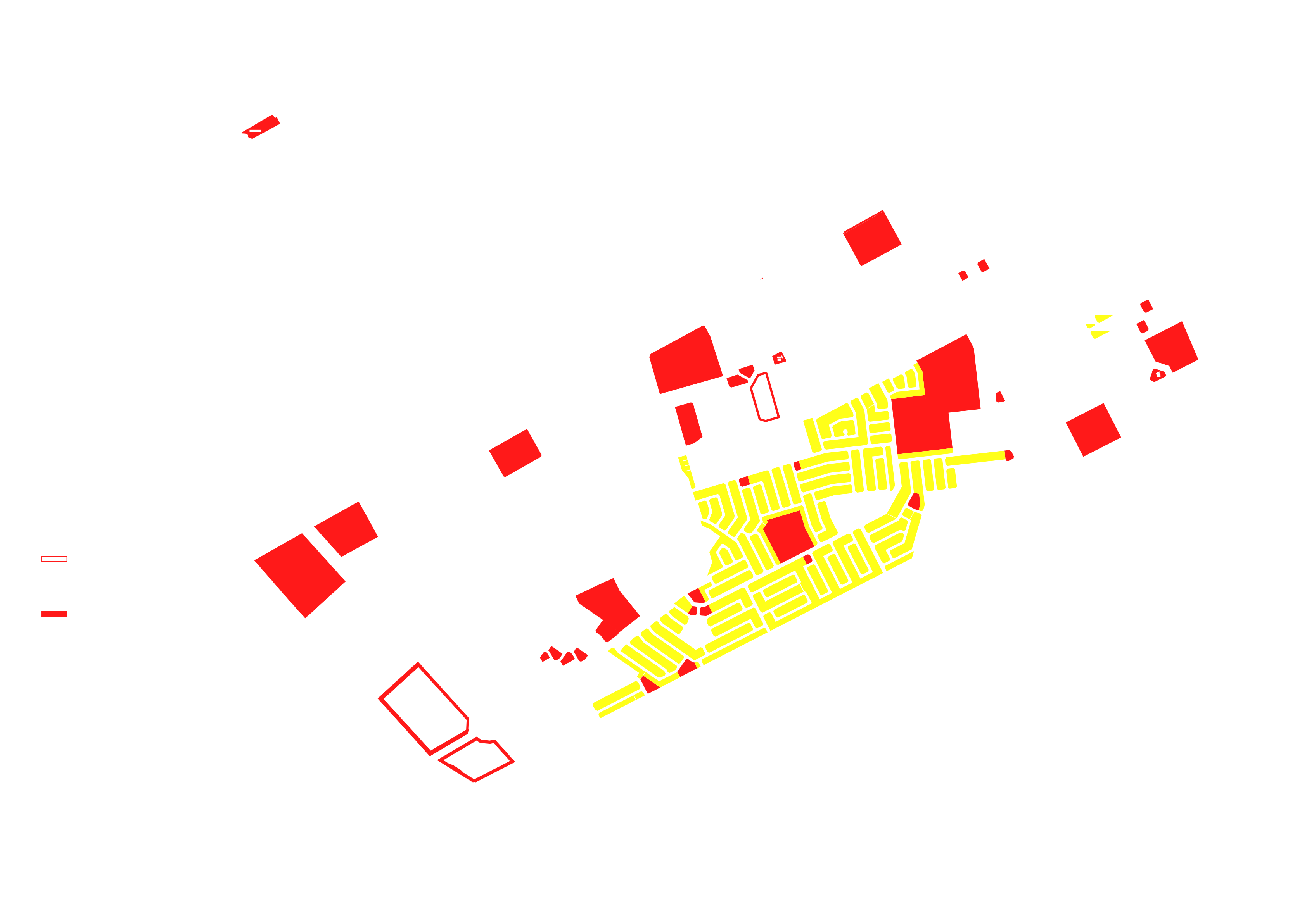
Civic infrastructure01Schools, clinic, police and other institutional sites are represented in the current plan interpretation.
02Civic destinations are connected to surrounding neighbourhood and street context.
03Operators, briefs, capacity, funding, delivery dates, approvals and service catchments.
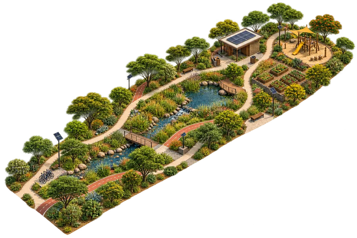
Green network0143.63 ha of active and passive open space is recorded in the current city ledger.
02A connected green-spine story is used to explain landscape as part of city structure.
03Landscape design, ecology, drainage role, ownership, maintenance, public access and phasing.