Understand the city and move from the big plan into real spatial context.
ONE CITY / MULTIPLE SPATIAL PRODUCTS
The map is notone thing.
Dunottar is becoming a portfolio of spatial tools around the same city: public engagement, reservation interest, housing, enterprise, civic systems, delivery coordination, evidence and future operations.
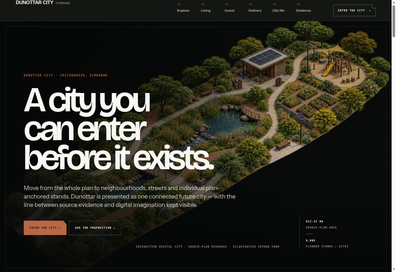 CITY / 612.32 HAPLAN → PLACE → PROPERTY → SYSTEM
SPATIAL SYSTEM 001DUNOTTAR CITYPlan-led / evidence-aware / interactive
THE PRODUCT IDEA
One source plan.Different jobs for different people.
Capture demand and preference without inventing verified availability.
Keep infrastructure, phasing, evidence and decisions attached to place.
Let the spatial record remain useful after assets and services go live.
01 / MINISTRY PROPOSITION LAYER
Use the spatial product to make the national proposition tangible.
The Ministry presentation frames Diaspora City as a complementary national development instrument: regenerate existing cities while building new urban capacity. This Vision Lab route keeps that strategic case visible, then lets people enter the map and test what it means spatially.
MASTER PLANNED
Coherent land use from day one.
SMART-CITY ENABLED
Digital systems embedded at inception.
INFRASTRUCTURE-FIRST
Utilities and transport planned before scale-up.
INVESTMENT-LED
Designed around productive and bankable economic activity.
SUSTAINABLE
Efficient, resilient and environmentally responsible.
WORLD-CLASS CITY / INTEGRATED ECOSYSTEM
Live. Work. Learn. Heal. Play.
The presentation explicitly frames the city as an economic ecosystem, not just a residential development. The spatial product therefore needs dedicated views for housing, enterprise, social infrastructure, public realm and operations.Housing + walkable neighbourhoods
Business districts + innovation
Education + research capacity
Healthcare + civic services
Parks + sport + entertainment
Current-plan update
The presentation’s supporting concept says “up to 500 hectares”. The live Dunottar project uses the newer July 2025 plan figure of 612.32 hectares. This route preserves the presentation’s strategic structure while handing spatial quantities back to the current plan.
02 / RESERVE INTEREST PROTOTYPE
Ask what people want before pretending you know.
This is a demand-capture prototype. It does not show verified availability, price, allocation, title or a legal interest in land. Choose the kind of opportunity you would want and open the live city to continue.
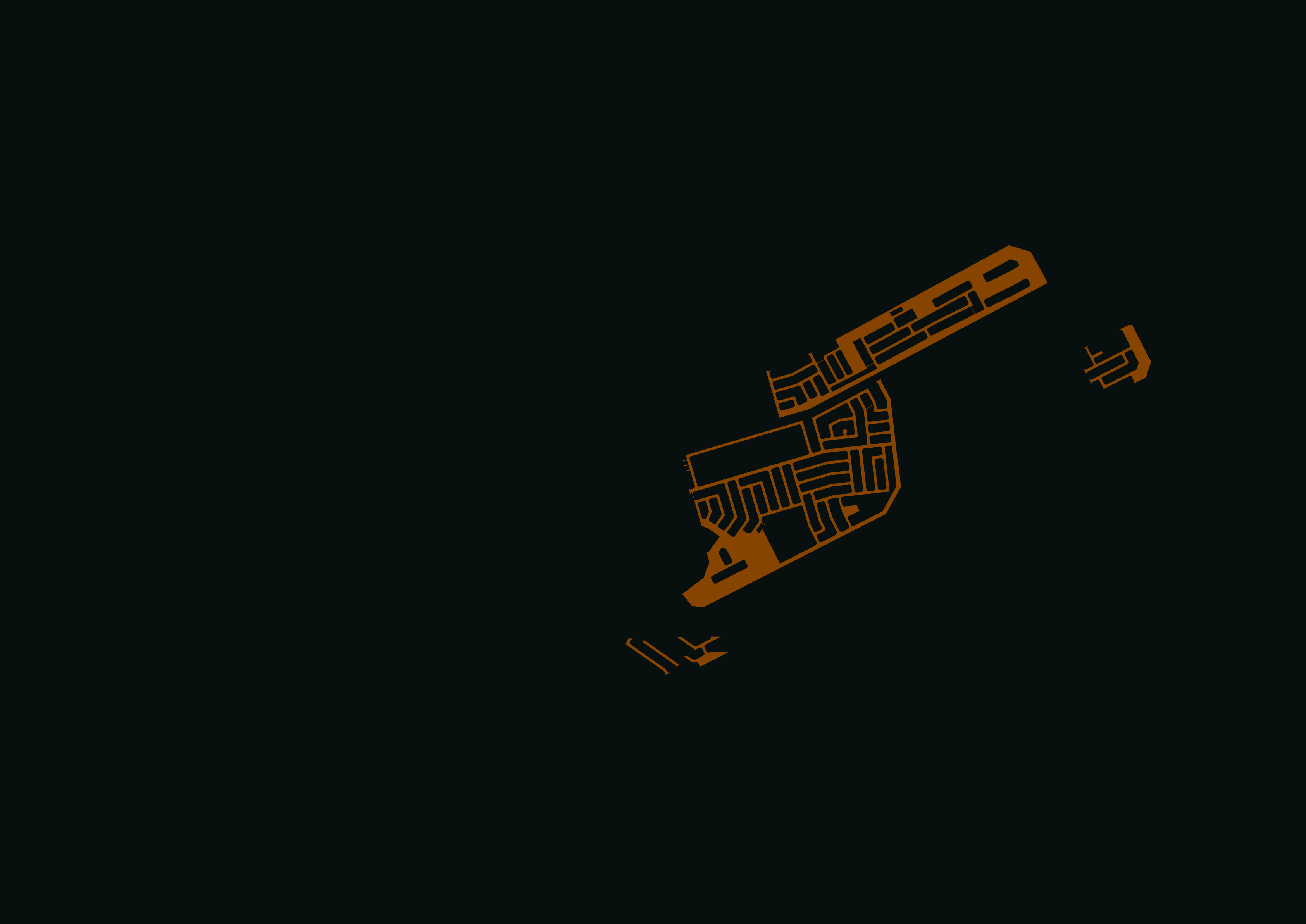
DEMAND MAP / PROTOTYPECorner residential stand
03 / THE SPATIAL PORTFOLIO
Seven ways to use the same city model.
Switch the lens. The geography stays connected, but the job changes.
ACTIVE LENS / 01RESERVE
RESERVE
Capture demand from the map.
Let people express interest against a plan-anchored location or a broader need, without presenting the map as verified inventory or a legal allocation tool.
- WORKFLOW
- Explore → shortlist → compare → express interest
- SOURCE
- One connected Dunottar spatial model
04 / REUSE THE SPATIAL STACK
Build once. Recombine for the next city question.
The point is not to keep making disconnected demos. The best parts of our existing spatial work can be recombined into a coherent Dunottar product family.
Reservation map
Shortlist, compare and express spatial demand.
District explorer
Explain neighbourhood character, daily life and local anchors.
Enterprise atlas
Connect commercial opportunity to movement and housing.
Infrastructure view
Make utilities, access, phasing and dependencies legible.
Evidence map
Carry source, status and unresolved questions with the geography.
Control room
Connect parcels, assets, issues, records and future operations.
05 / NATIONAL OUTCOMES + INFRASTRUCTURE
Make the strategic outcomes explorable, not just readable.
The presentation links the city to investment, jobs, revenue, foreign-currency participation, housing delivery, innovation and international visibility. It also identifies fibre, renewable energy, smart water, integrated public transport, digital governance and smart security as infrastructure ambitions.
Diaspora, institutional and international participation.
Construction, technology, services and manufacturing.
Planned residential capacity within a wider city system.
Future rates, taxes and development-related revenue capacity.
Structured participation that can support inflows.
A platform for modern systems, services and operating models.
FIBRERENEWABLE ENERGYSMART WATERINTEGRATED TRANSPORTDIGITAL GOVERNANCESMART SECURITY
06 / FROM PROPOSITION TO IMPLEMENTATION
Use the spatial system through the whole project pathway.
The Ministry presentation proposes a progression from technical engagement to feasibility, master planning and implementation. The point of the spatial stack is that it can remain useful across every one of those stages instead of being discarded after the presentation.
TECHNICAL ENGAGEMENT
Use the current plan, evidence register and spatial model to align the project team, authorities and technical stakeholders.
FEASIBILITY
Attach land, infrastructure, environment, demand and delivery questions to the places they affect.
MASTER PLAN + ENGINEERING
Move from plan interpretation into coordinated packages, systems, phasing and costed implementation decisions.
IMPLEMENTATION
Keep progress, evidence, assets, issues and future operations connected to the same spatial record.
07 / FUTURE CUSTOMER JOURNEY
Design the whole journey now, even where later stages are not live yet.
Reservation interest is only the first transaction-like moment. The future service should carry the same person from discovery through verified inventory, allocation, legal and payment steps, construction visibility and eventually resident or operator services.
DISCOVER
Explore the city, neighbourhoods and opportunity types.
SHORTLIST
Save plan-anchored stands or programme preferences.
RESERVE INTEREST
Submit contact details and a structured expression of interest.
VERIFY
Project team confirms authoritative inventory, availability and evidence.
ALLOCATE
Offer / allocation workflow with expiry, conditions and audit trail.
LEGAL + PAY
Contracts, KYC, payments/deposits and conveyancing only when authorised.
BUILD
Construction milestones, decisions, documents, inspections and progress evidence.
MOVE / OPERATE
Resident, landlord, business or institutional services tied to the same place.
START THE LIVE JOURNEY
Corner residential stand
Express a preference for a corner residential position. No availability is implied.DUNOTTAR / SPATIAL PRODUCT FAMILY