MKMUKOKO.STUDIO
VISION LAB / SPATIAL DEVELOPMENTSTART A PROJECT ↗

CONCEPT DEMONSTRATION / MUKOKO.STUDIO

FROM DRAWINGTO LIVING PLACE.

We turn masterplans, architectural drawings and development data into explorable digital places for developers, investors, planners, project teams and future residents.

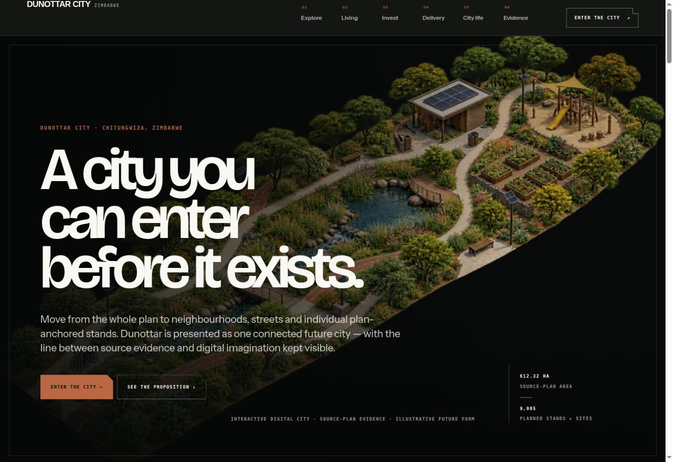
Illustrative aerial city-scale development model showing roads, districts, buildings and landscape
CONCEPT / CITY SCALE
CITY → DISTRICT → BUILDING → UNIT
MODEL 001SPATIAL SYSTEMIllustrative / demonstration data

THE PROPOSITION

Your project already contains a world of information. We make that world navigable.

GIVE US

Masterplan · CAD · architectural drawings · GIS · site plan · property schedule · phase data · supporting imagery

WE CAN CREATE

Interactive masterplan · digital twin · property explorer · investor experience · developer control room · planning communication tool

Illustrative aerial city-scale development model showing roads, districts, buildings and landscape
ACTIVE DEMO / 01CITY-SCALE DIGITAL TWIN
REGION → CITY → DISTRICT → STREET → PROPERTY

CITY-SCALE DIGITAL TWIN

A masterplan becomes a city people can actually understand.

Move from the whole settlement into districts, streets, destinations and individual sites while keeping planning evidence and design interpretation visibly separate.

THIS DEMONSTRATES
  • City navigation
  • Land-use layers
  • Guided routes
  • Spatial evidence
  • Development phasing
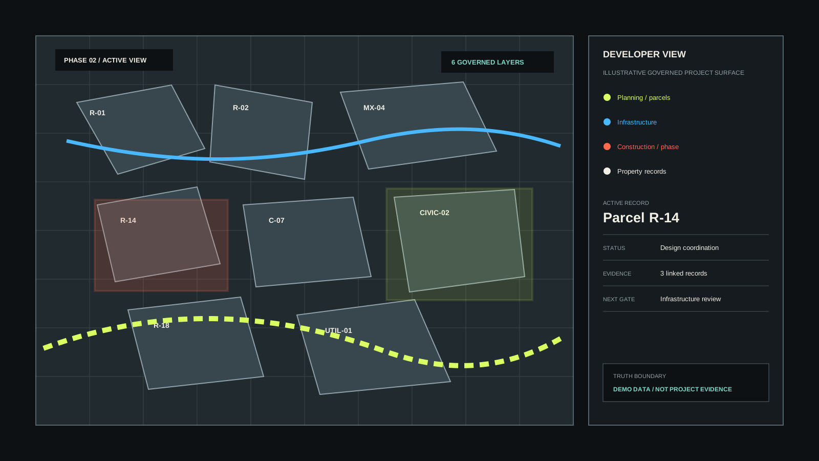
Developer control room concept showing parcels, phases, infrastructure and governed project records
PUBLIC COMMUNICATION VIEW2 ACTIVE LAYERS

The visual model becomes useful when the information has somewhere to live.

EXAMPLE PUBLIC RECORDResidential neighbourhood / illustrative
Status
Concept demonstration
Evidence
Source boundary required
Next gate
Project-side verification

The same district can tell a different story at 06:30 and 20:00.

Time states can explain commute, shade, activity, public realm, leisure and night-time identity. This prototype uses staged demonstration states rather than live behavioural data.

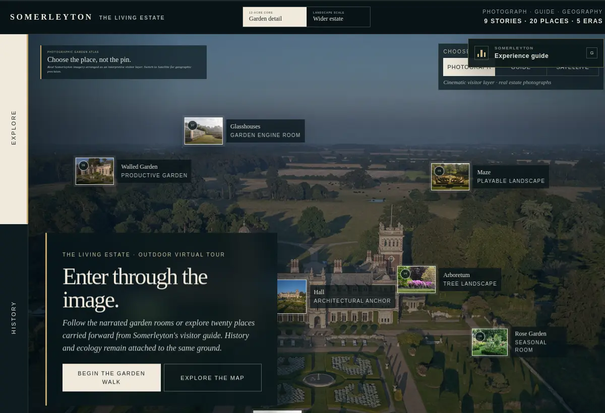
Illustrative landscaped urban boulevard used to demonstrate changing time-of-day presentation states
SIMULATED DISTRICT STATE12:30

THE COMMERCIAL EXPLAINER

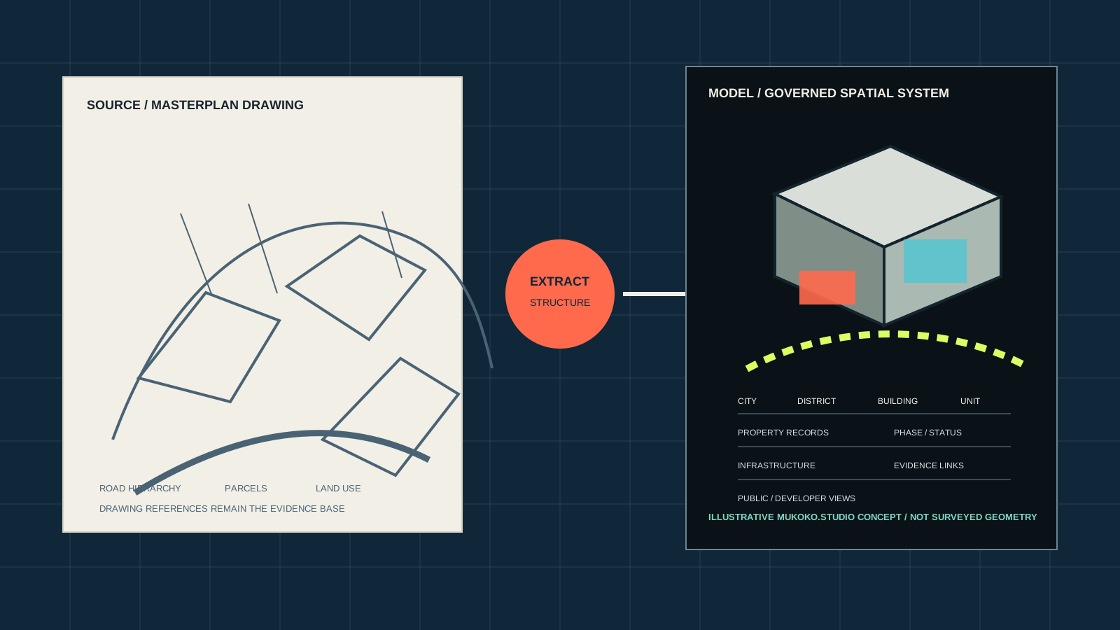
A drawing does not have to stay a drawing.

Source masterplan transforming into a governed digital twin with spatial and project data layers
STEP 06Explore

Give each audience a useful governed view of the same place.

The technology is not the 3D scene. The value is what the scene can connect.

01

Interactive masterplan

Make a complex plan explorable without flattening its detail.

02

Property explorer

Move from a development to buildings, floors, units and governed records.

03

Investor experience

Read scale, opportunity, dependencies and the evidence still required.

04

Planning communication

Give non-specialists a legible way into technical development information.

05

Developer control room

Connect parcels, phases, infrastructure, documents and decisions.

06

Construction record

Create a spatial index for progress, evidence, inspections and issues.

MUKOKO.STUDIO / SPATIAL DEVELOPMENT LAB

Have a masterplan, drawing or development dataset?

We can turn it into something people can move through, understand and use.
SHOW US THE PROJECT ↗