Understand context, character and possibility.
REAL PLACES. REAL DATA. REAL IMPACT.
Spatial
Intelligence
for a Better Tomorrow
Interactive places. Deeper insight. Smarter decisions.
We turn maps, plans and project data into living spatial products for people, property and possibility.
01 / CITYWHOLE PLACE / DEVELOPMENT STRUCTURE
Districts, destinations, movement and opportunity remain visible as one connected place.
OPEN THIS VIEW ↗CITIESCOMMUNITIESESTATESINVESTORSGOVERNMENTENVIRONMENT
ONE SPATIAL MODEL. MANY USEFUL VIEWS.
Move from territory to decision
without losing the place.
From one residence to a district, estate or city, the product changes scale while the evidence stays connected.
FROM VISION TO PLACE
Global context
Position a project within its wider geography, movement systems, markets and environmental context.
EXPLORE →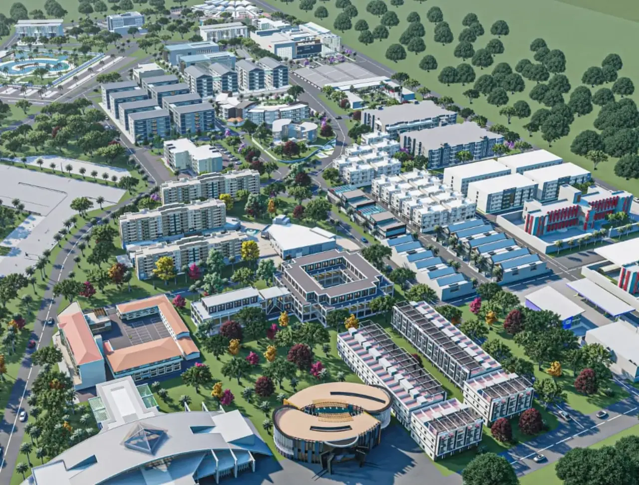
SEE THE BIGGER PICTURE
City scale
Explore districts, destinations, movement and development structure in one connected spatial model.
EXPLORE →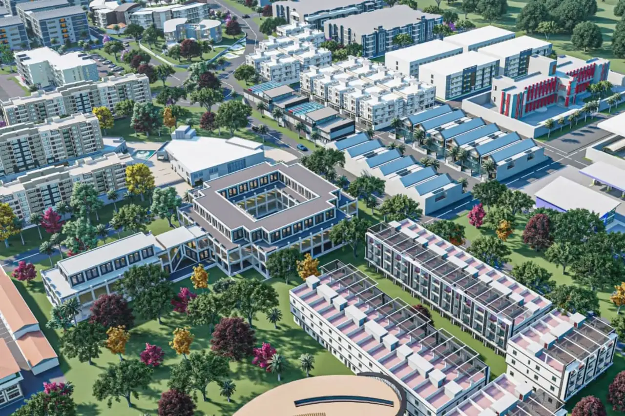
EXPLORE DETAILS
District & neighbourhood
Move from masterplan to neighbourhood character, land use, amenities and opportunity areas.
EXPLORE →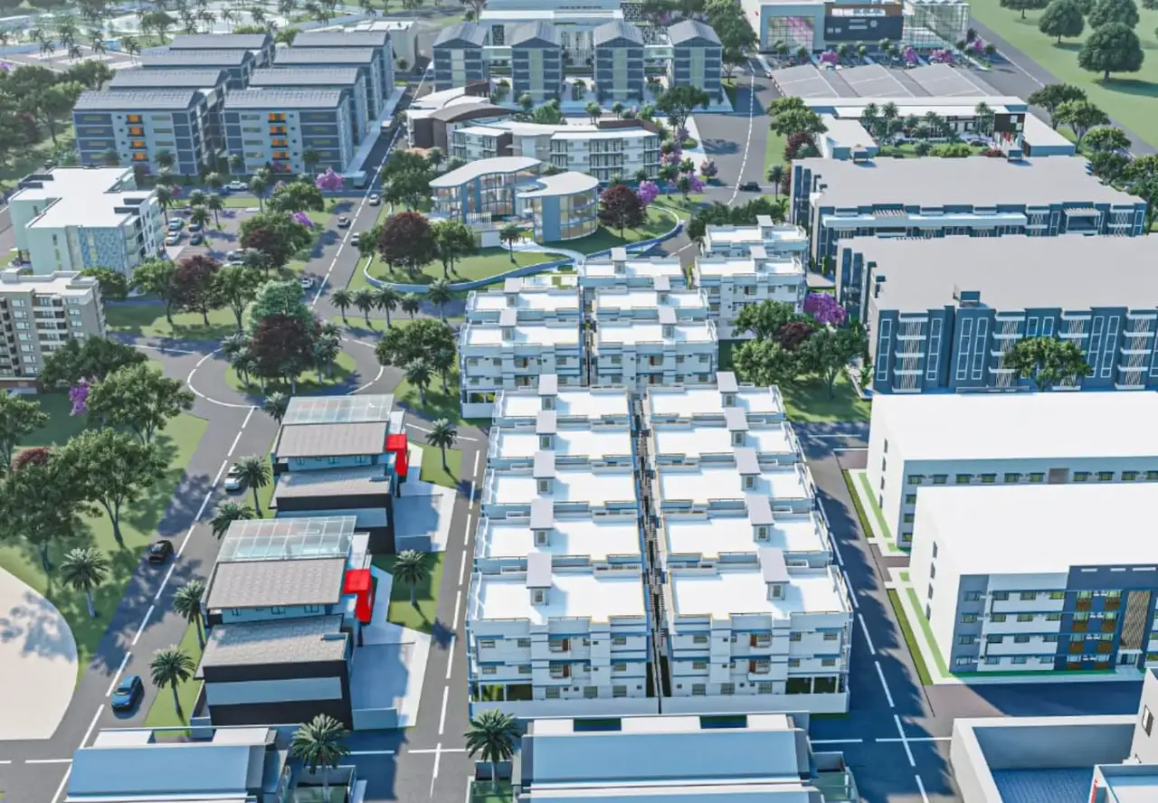
INSPECT · COMPARE · PLAN
Properties
Connect buildings and units to layouts, availability, specifications, context and enquiry journeys.
EXPLORE →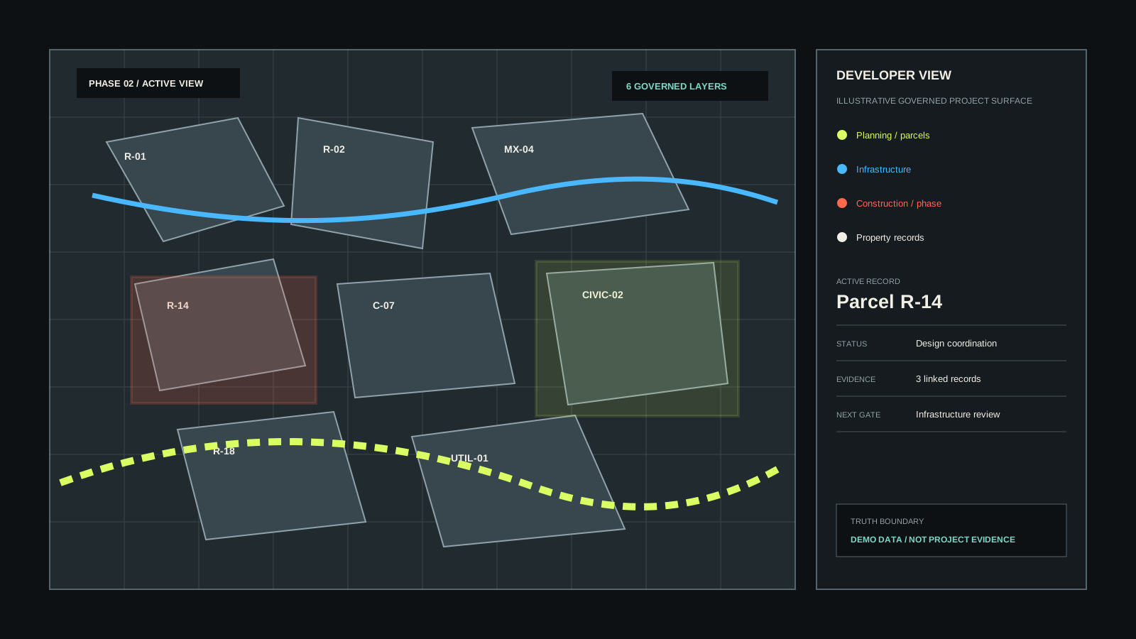
DATA FOR BETTER DECISIONS
Insights & evidence
Layer infrastructure, phasing, environmental evidence and project records directly onto place.
EXPLORE →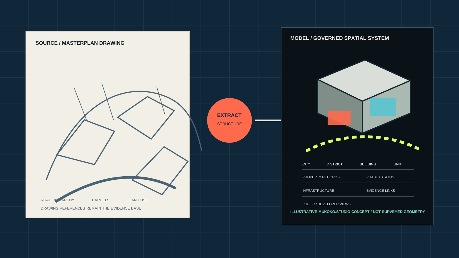
FROM PLAN TO REALITY
Build & deliver
Keep design intent, delivery evidence, project decisions and handover records spatially connected.
EXPLORE →SPATIAL PRODUCTS, NOT JUST RENDERS
The image gets attention.
The intelligence makes it useful.
We sit beside architects, designers and project teams to turn their existing work into explorable digital places that can sell, explain, deliver, verify and operate.
Turn spatial clarity into confident buyer journeys.
Show how homes connect to everyday life.
Connect programme, evidence and delivery to place.
Make provenance, status and confidence visible.
Keep the spatial model useful after handover.
THE WORKING MODEL
Start with what already exists.
Then make it useful.
Technical accuracy, statutory design, surveying and engineering remain with the appointed professionals. Mukoko.Studio adds the spatial visualisation and digital-product layer.
- 01
Receive
Plans, elevations, schedules, GIS, BIM, imagery or project data.
- 02
Model
Build or optimise the spatial base needed for the agreed experience.
- 03
Productise
Add layers, journeys, filters, evidence, comparisons and decisions.
- 04
Publish
Put the product in the browser for teams, buyers, investors and partners.
LIVE PROOF / DUNOTTAR CITY
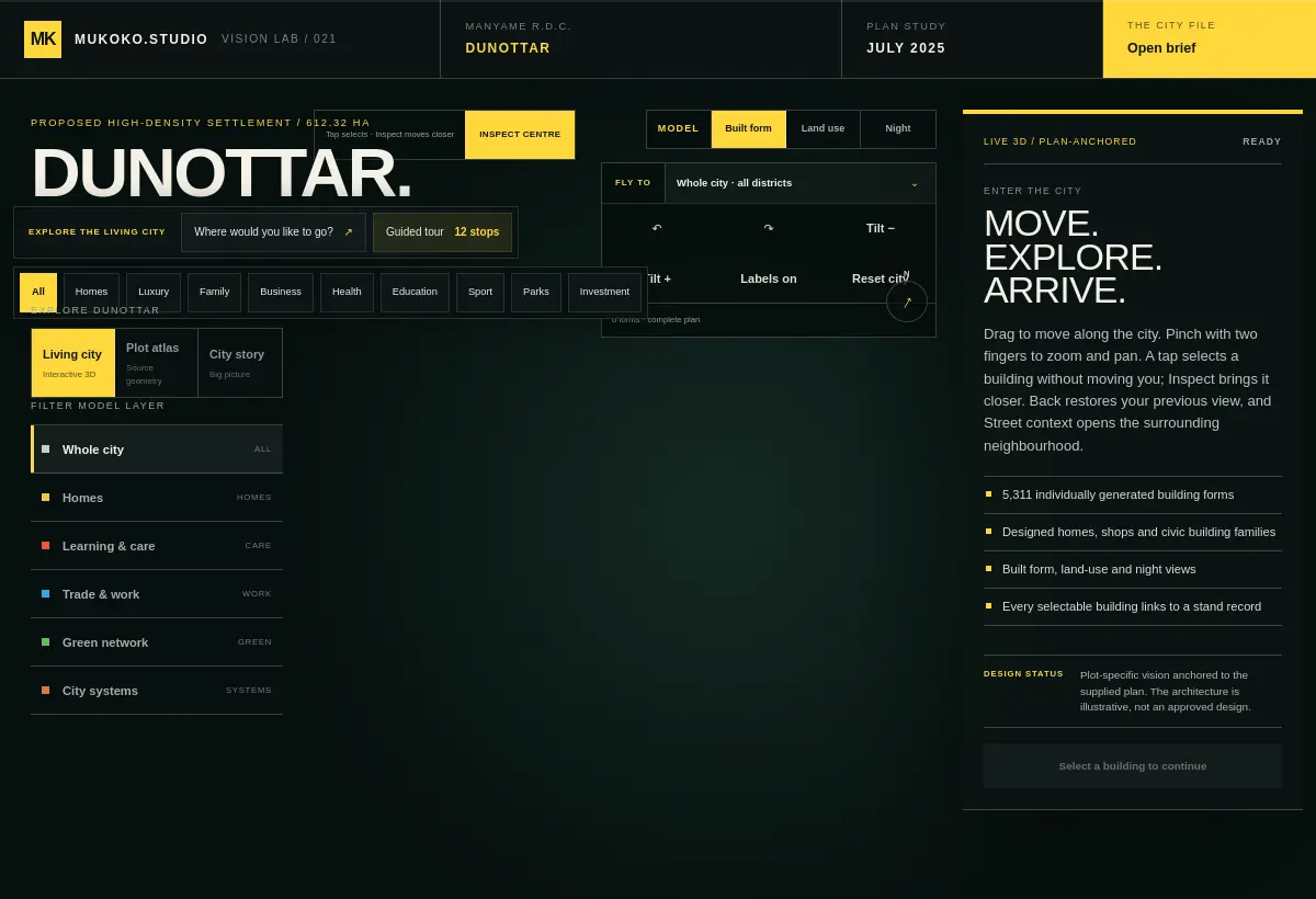
A real working city model.
And only the beginning.
Dunottar demonstrates the core idea at city scale: connected places, layers, destinations, evidence and journeys. The same system can move down to one house or sideways into infrastructure, sales and delivery.
OPEN DUNOTTAR CITY ↗BRING ONE DRAWING SET.